
Wildlife Connectivity
Connectivity corridors, climate refugia, and the architecture of a Blue Mountains that can hold the future.
In a landscape of unbroken forest blocks linked by intact corridors, animals can do what they have always done: move. They move with the seasons. They move to find mates, food, and water. They move to recover from drought, from fire, from disturbance. And, more and more, they move because the climate is moving under their feet.
A forest reserve system does two things at once: it gives wildlife places to stay, and it gives them ways to get there.
Two concepts sit at the heart of how conservation biologists now think about a warming world. The first is the climate refugium, a place that buffers what is happening around it. A deep, north-facing canyon where the snow lingers longer. The shaded interior of an old, mesic forest where summer temperatures run cooler than in the surrounding country. A high-elevation cirque, a cold spring, a stream tucked under a closed canopy. Refugia are the slow zones in a fast-changing landscape, the places where a species can hang on while the climate shifts around it.
The second is the connectivity corridor: an intact, traversable belt of habitat that links refugia together and links core wild areas together. Corridors are how wildlife actually gets from where it is to where it will need to be.
Refugia without corridors are islands. Corridors without refugia lead nowhere. Together, they form the architecture of a resilient landscape that can hold change.
The Blue Mountains are extraordinary corridor country.
Most western mountain ranges run north and south. That north–south orientation roughly matches the direction species generally need to shift as the climate warms: uphill and poleward. The Blue Mountains are different. They run east and west.
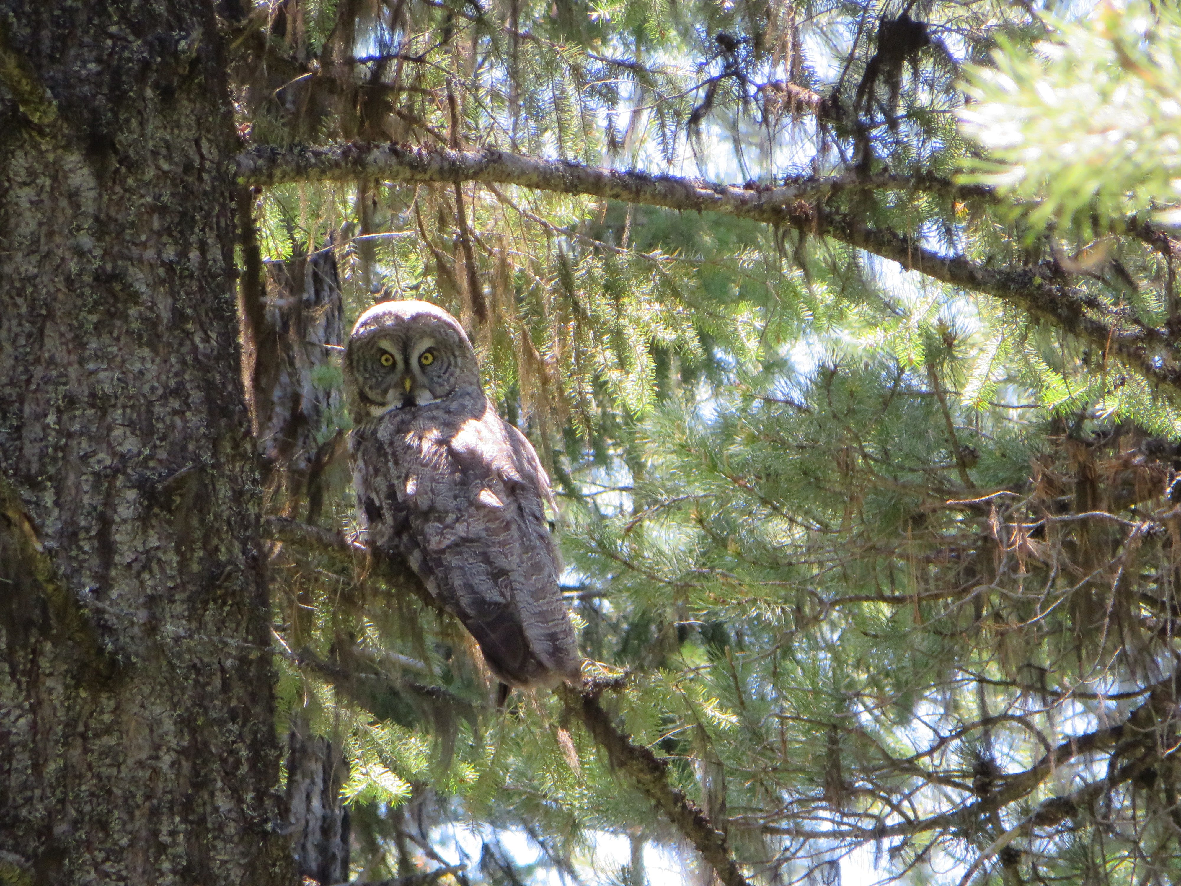
That makes the Blues a rare transverse bridge. They form one of the only major east–west forest connections in the Pacific Northwest, linking the Cascades to the Rockies and connecting the Columbia Plateau to the Great Basin to the south. Wide-ranging species — black bears, mountain lions, wolves, elk, mule deer, lynx, the occasional wolverine — depend on long-distance forested connections like this for their genetic and demographic survival. The Nature Conservancy’s Migrations in Motion analyses, which model where birds, mammals, and amphibians will need to move as climate shifts the map of hospitable habitat, identify this east–west corridor as one of the most important pieces of climate connectivity in the interior West.
It is exactly the kind of landscape we cannot afford to fragment further.

The Blues are full of refugia worth protecting
These mountains are not just a passage. They are full of the kinds of microclimates that buffer warming weather all on their own.
The Wallowas hold cold high cirques and shaded north faces. Deep canyon systems — Hells Canyon, Joseph Canyon, Hellhole, the Walla Walla — pool cool air at their bottoms long into summer. Springs and headwater streams flow year-round under closed canopy. Mesic mixed-conifer pockets of grand fir, spruce, and hemlock run about 12°F cooler in summer than surrounding dry pine forest, research shows. The Texas Butte country in the Skookum–Potamus area catches enough precipitation along the “Blues front” to support unexpectedly wet forest types that simply do not exist elsewhere at that latitude.
These are the places a salamander, a marten, a pika, a cow elk and her calf in a heat wave will go. They are also the places that, once cut over or roaded, cannot easily be remade.
Refugia take centuries to assemble. They take an afternoon to lose.
Why protection is the network
Logging warms a forest. Roads break it apart. Each one chips at the refugia and the routes between them.
When a forest is logged or heavily thinned, the canopy opens to sun and wind. Ground temperatures rise. Streams run warmer. Springs dry up. Snow leaves earlier. Soil hardens. The exact properties that make a place a refugium — shade, humidity, structural complexity, cool soils — are the first casualties. Roads act as both physical barriers (many smaller species cross them only reluctantly, if at all) and ecological sinks: they fragment landscapes, concentrate runoff, deliver sediment to streams, and dramatically increase the chance that a wildfire ignites in a place that would otherwise stay green.
Protected areas — designated wilderness, roadless areas, riparian zones held to enforceable standards — do the opposite. They keep the canopy closed where it is closed, the streams cold where they are cold, the long unbroken paths long and unbroken. Building a reserve system in the Blue Mountains is, in plain terms, building a refugia-and-corridors network. The two questions — “which places should we protect?” and “how should those protected places be arranged?” — turn out to have the same answer.
The wild places still hold the network

What stands out about this map is that it is mostly green already — the bones of a working reserve system are still on the ground. The Eagle Cap, Hells Canyon, Wenaha-Tucannon, North Fork John Day, and Strawberry Mountains wilderness areas anchor it. Roadless areas like Lake Fork, Joseph Canyon, Hellhole, the Walla Walla, the Elkhorns, Aldrich, and Glacier Mountain hold the connective tissue. The proposed refugia overlay the places that are coolest, wettest, and most likely to persist as the climate moves through them. The reserve system is not something we need to invent. It is something we need to choose.
What the Forest Plan can lock in
The Forest Plan Revision is the single biggest tool we have right now to decide whether the Blue Mountains remain a coherent refugia-and-corridors network or get hollowed out one project at a time. Three things, in particular, are worth asking the plan to do.
First, recognize the Blue Mountains explicitly as a regional connectivity priority, and identify by name the corridor lands that link the reserves we already have. The Lake Fork roadless area between the Eagle Cap and Hells Canyon. The Northern Grande Ronde lands between Hells Canyon and Wenaha-Tucannon. The Meacham–Umatilla canyon complex. The Southern Blues divide. Connectivity should not be implied. It should be mapped.
Second, protect mature mesic forests, riparian systems, and high-elevation refugia with enforceable standards, not soft guidelines. These are the places that do the cooling, water-holding, snow-holding work the rest of the landscape will increasingly depend on. Guidelines can be set aside on a project-by-project basis. Standards cannot.
Third, use the best available science. The Law et al. (2021, 2022) strategic-reserve datasets and The Nature Conservancy’s Migrations in Motion model are public, peer-reviewed, and ready to be incorporated into the planning analysis. Asking the agency, on the record, to bring these datasets into the alternatives is one of the most concrete substantive comments anyone can make — and a question the agency must answer.
Connectivity is not a luxury. It is how a wild place keeps being wild.
Climate change is going to push the wildlife of these mountains hard. Some species will need to find cooler places. Some will need to move further than any single reserve can hold. Some will need refuges within refuges. The architecture that lets them do that, a connected mosaic of cores, corridors, and climate buffers, is exactly the architecture the science already maps, the wild places still hold, and the forest plan can either build or break.
The good news is that almost all of the pieces are still in place.
Read Next: Six landscapes worth protecting
Ready to take action?